 vesseltracker.com
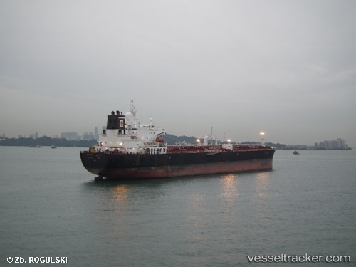
Vessel Bani Yas IMO: 9487249, MMSI: 636014942 Crude Oil Tanker
UTC, 33.70708, 25.45507, course: 287, speed: 12.5
UTC, 33.81667, 24.95667, course: -1, speed: 12
2026-02-10 07:33:47 UTC, 33.90667, 24.65333, course: -1, speed: 11
Live AIS position:
UTC. 62 nm S of Kali Limenes),
updated 2026-02-10 07:33:47 UTC.
Find the position of the vessel Bani Yas on the map. The latter are known coordinates and path.
marine traffic ship tracker show on live map
The current position of vessel Bani Yas is 33.90667 lat / 24.65333 lng. Updated: 2026-02-10 07:33:47 UTCCurrently sailing under the flag of Liberia
Bani Yas built in 2010 year
Deadweight:
74913 tDetails:
Last coordinates of the vessel:
UTC, 33.55850, 26.00065, course: 288, speed: 13UTC, 33.70708, 25.45507, course: 287, speed: 12.5
UTC, 33.81667, 24.95667, course: -1, speed: 12
2026-02-10 07:33:47 UTC, 33.90667, 24.65333, course: -1, speed: 11