 vesseltracker.com
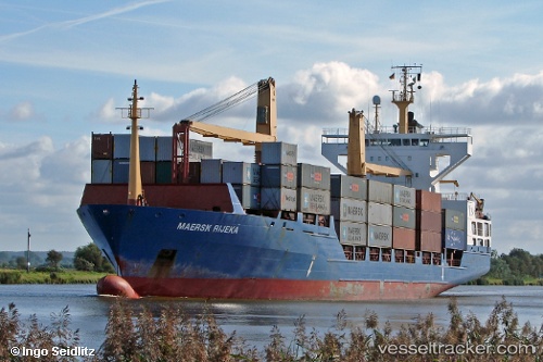
Vessel Barbara P IMO: 9144720, MMSI: 255805600 Container Ship
UTC, 36.76477, 3.06704, course: 319, speed: 0
UTC, 36.76478, 3.06705, course: 319, speed: 0
2026-02-09 07:33:41 UTC, 36.76477, 3.06702, course: 320, speed: 0
Live AIS position:
UTC. Near ALGER),
updated 2026-02-09 07:33:41 UTC.
Find the position of the vessel Barbara P on the map. The latter are known coordinates and path.
marine traffic ship tracker show on live map
The current position of vessel Barbara P is 36.76477 lat / 3.06702 lng. Updated: 2026-02-09 07:33:41 UTCCurrently sailing under the flag of Portugal
Barbara P built in 1997 year
Deadweight:
12950 tDetails:
Last coordinates of the vessel:
UTC, 36.76477, 3.06704, course: 318, speed: 0UTC, 36.76477, 3.06704, course: 319, speed: 0
UTC, 36.76478, 3.06705, course: 319, speed: 0
2026-02-09 07:33:41 UTC, 36.76477, 3.06702, course: 320, speed: 0