 vesseltracker.com
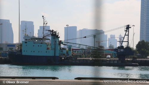
Vessel Barracuda IMO: 8129137, MMSI: 470678000 Offshore Support Vessel
UTC, 24.74872, 54.58189, course: -1, speed: 0
UTC, 24.72684, 54.55359, course: -1, speed: 4.7
2026-02-07 03:44:12 UTC, 24.72817, 54.55922, course: -1, speed: 0
Live AIS position:
UTC. Near KHALIFA),
updated 2026-02-07 03:44:12 UTC.
Find the position of the vessel Barracuda on the map. The latter are known coordinates and path.
marine traffic ship tracker show on live map
The current position of vessel Barracuda is 24.72817 lat / 54.55922 lng. Updated: 2026-02-07 03:44:12 UTCCurrently sailing under the flag of UAE
Details:
Last coordinates of the vessel:
UTC, 24.74871, 54.58190, course: -1, speed: 0UTC, 24.74872, 54.58189, course: -1, speed: 0
UTC, 24.72684, 54.55359, course: -1, speed: 4.7
2026-02-07 03:44:12 UTC, 24.72817, 54.55922, course: -1, speed: 0