 vesseltracker.com
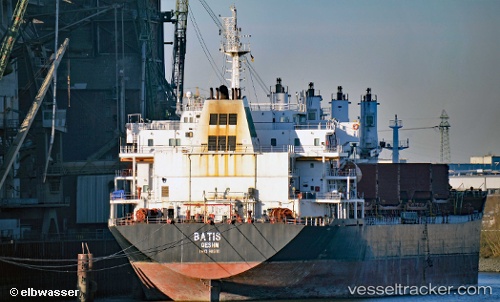
Vessel Batis IMO: 9465760, MMSI: 422040500 Bulk Carrier
UTC, 26.99484, 56.35021, course: 117, speed: 0
UTC, 26.99324, 56.34987, course: 71, speed: 0
2026-02-06 12:11:09 UTC, 26.99237, 56.35255, course: 337, speed: 0
Live AIS position:
UTC. Near QUESHM),
updated 2026-02-06 12:11:09 UTC.
Find the position of the vessel Batis on the map. The latter are known coordinates and path.
marine traffic ship tracker show on live map
The current position of vessel Batis is 26.99237 lat / 56.35255 lng. Updated: 2026-02-06 12:11:09 UTCCurrently sailing under the flag of Iran
Details:
Last coordinates of the vessel:
UTC, 26.99501, 56.35037, course: 128, speed: 0UTC, 26.99484, 56.35021, course: 117, speed: 0
UTC, 26.99324, 56.34987, course: 71, speed: 0
2026-02-06 12:11:09 UTC, 26.99237, 56.35255, course: 337, speed: 0