 vesseltracker.com
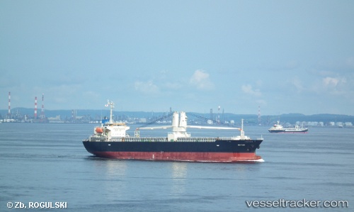
Vessel Bayani IMO: 9439436, MMSI: 548827000 General Cargo Ship
Live AIS position:
UTC. Near Yokohama),
updated 2025-05-14 05:02:17 UTC.
Find the position of the vessel Bayani on the map. The latter are known coordinates and path.
marine traffic ship tracker show on live map
The current position of vessel Bayani is 35.44750 lat / 139.68350 lng. Updated: 2025-05-14 05:02:17 UTCCurrently sailing under the flag of Philippines
Bayani built in 2010 year
Deadweight:
12902 tDetails:
Last coordinates of the vessel:
2025-05-14 05:02:17 UTC, 35.44750, 139.68350, course: 108, speed: 8