 vesseltracker.com
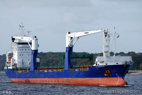
Vessel Bbc Emsland IMO: 9511648, MMSI: 305561000 Multi Purpose Carrier
UTC, 1.08462, 88.59647, course: 117, speed: 12
UTC, 0.86391, 89.03472, course: 118, speed: 12
2026-02-05 15:23:34 UTC, 0.74594, 89.26318, course: 118, speed: 11.9
Live AIS position:
UTC. 388 nm SE of Abakaliki),
updated 2026-02-05 15:23:34 UTC.
Find the position of the vessel Bbc Emsland on the map. The latter are known coordinates and path.
marine traffic ship tracker show on live map
The current position of vessel Bbc Emsland is 0.74594 lat / 89.26318 lng. Updated: 2026-02-05 15:23:34 UTCDetails:
Last coordinates of the vessel:
UTC, 1.30303, 88.15300, course: 113, speed: 12.7UTC, 1.08462, 88.59647, course: 117, speed: 12
UTC, 0.86391, 89.03472, course: 118, speed: 12
2026-02-05 15:23:34 UTC, 0.74594, 89.26318, course: 118, speed: 11.9