 vesseltracker.com
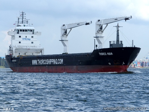
Vessel Bbc Nyhavn IMO: 9559896, MMSI: 305825000 Multi Purpose Carrier
UTC, 26.86866, -170.40179, course: 92, speed: 10.2
UTC, 26.83821, -169.81195, course: 98, speed: 10.5
2026-02-05 16:01:40 UTC, 26.80962, -169.50790, course: 95, speed: 10.7
Live AIS position:
UTC. Open sea (no nearby ports in database)),
updated 2026-02-05 16:01:40 UTC.
Find the position of the vessel Bbc Nyhavn on the map. The latter are known coordinates and path.
marine traffic ship tracker show on live map
The current position of vessel Bbc Nyhavn is 26.80962 lat / -169.50790 lng. Updated: 2026-02-05 16:01:40 UTCDetails:
Last coordinates of the vessel:
UTC, 26.88284, -170.57285, course: 91, speed: 9.9UTC, 26.86866, -170.40179, course: 92, speed: 10.2
UTC, 26.83821, -169.81195, course: 98, speed: 10.5
2026-02-05 16:01:40 UTC, 26.80962, -169.50790, course: 95, speed: 10.7