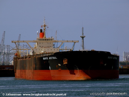
vessel Berge Fuji IMO: 9122590, Ore Carrier
vesseltracker.com
Vessel Berge Fuji IMO: 9122590, Ore Carrier
MMSI: 235093797 callsign: 2FSC2 size: 57x324

Find the position of the vessel Berge Fuji on the map. The latter are known coordinates and path.

marine traffic ship tracker show on live map

The current position of vessel Berge Fuji is -31.9198 lat / 42.6609 lng. Updated: 2024-04-20 04:50:37 UTC
Payload_mass:
268025 tonne
Gross tonnage:
145963
Service entry:
1996-01-01T00:00:00Z
Details:


Last coordinates of the vessel:
UTC, -31.9592, 41.8992, course: 86, speed: 10.2
UTC, -31.9495, 42.3303, course: 85, speed: 11.2
UTC, -31.9286, 42.6211, course: 86, speed: 4
2024-04-20 04:50:37 UTC, -31.9198, 42.6609, course: 57, speed: 1.6

Track of the vessel in the last 14 days


Most frequent ports a vessels calls at Berge Fuji (235093797):

Sambu, traffic: 7
Singapore, traffic: 5
Yantai, traffic: 4
Yen-Tai, traffic: 4
Cape Of Good Hope, traffic: 2
Panjang, traffic: 2

Link to the map:


Find another ship

Berge_Fuji (235093797) last ports (portcalls and passsages)

Singapore | 2024-02-18 12:02:25
Yen-Tai | 2023-10-20 23:59:37
Singapore | 2023-07-16 08:33:40
Cape Of Good Hope | 2023-05-29 15:21:14
Singapore | 2023-01-07 03:00:24
Cape Of Good Hope | 2022-06-03 04:10:14
Yen-Tai | 2022-04-14 02:58:32
Singapore | 2022-01-15 16:20:35
Sambu | 2022-01-15 16:10:24
Yantai | 2022-01-01 04:55:39
Panjang | 2021-12-13 08:32:23