 vesseltracker.com
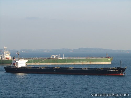
Vessel Best Unity IMO: 9167368, MMSI: 351501000 Bulk Carrier
Live AIS position:
UTC. Near Chattogram),
updated 2025-03-17 07:41:18 UTC.
Find the position of the vessel Best Unity on the map. The latter are known coordinates and path.
marine traffic ship tracker show on live map
The current position of vessel Best Unity is 22.43872 lat / 91.72754 lng. Updated: 2025-03-17 07:41:18 UTCDetails:
Last coordinates of the vessel:
2025-03-17 07:41:18 UTC, 22.43872, 91.72754, course: -1, speed: 0