 vesseltracker.com
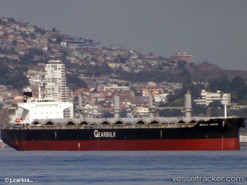
Vessel Betula Arrow IMO: 9720055, MMSI: 351831000 General Cargo Ship
UTC, 34.90908, 136.72948, course: 315, speed: 0
UTC, 34.90909, 136.72972, course: 317, speed: 0
2026-02-04 18:19:16 UTC, 34.90978, 136.73027, course: 286, speed: 0
Live AIS position:
UTC. Near Yokkaichi),
updated 2026-02-04 18:19:16 UTC.
Find the position of the vessel Betula Arrow on the map. The latter are known coordinates and path.
marine traffic ship tracker show on live map
The current position of vessel Betula Arrow is 34.90978 lat / 136.73027 lng. Updated: 2026-02-04 18:19:16 UTCDetails:
Last coordinates of the vessel:
UTC, 34.90833, 136.72833, course: -1, speed: 0UTC, 34.90908, 136.72948, course: 315, speed: 0
UTC, 34.90909, 136.72972, course: 317, speed: 0
2026-02-04 18:19:16 UTC, 34.90978, 136.73027, course: 286, speed: 0