 vesseltracker.com
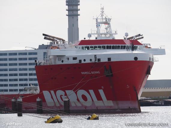
Vessel Bigroll Bering IMO: 9710476, MMSI: 244830431 Deck Cargo Ship
UTC, 1.32027, 104.11038, course: 306, speed: 0
UTC, 1.32013, 104.10992, course: 54, speed: 0
2026-02-04 13:45:29 UTC, 1.32038, 104.10967, course: 83, speed: 0
Live AIS position:
UTC. Near Tanjung Setapa),
updated 2026-02-04 13:45:29 UTC.
Find the position of the vessel Bigroll Bering on the map. The latter are known coordinates and path.
marine traffic ship tracker show on live map
The current position of vessel Bigroll Bering is 1.32038 lat / 104.10967 lng. Updated: 2026-02-04 13:45:29 UTCCurrently sailing under the flag of Netherlands
Details:
Last coordinates of the vessel:
UTC, 1.32030, 104.11047, course: 305, speed: 0.1UTC, 1.32027, 104.11038, course: 306, speed: 0
UTC, 1.32013, 104.10992, course: 54, speed: 0
2026-02-04 13:45:29 UTC, 1.32038, 104.10967, course: 83, speed: 0