 vesseltracker.com
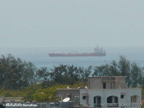
Vessel Bintang Samudra T IMO: 9495856, MMSI: 525119080 Chemical Oil Products Tanker
UTC, 0.21833, 106.69167, course: -1, speed: 2
UTC, 0.19089, 106.84243, course: 106, speed: 4.8
2026-02-03 09:32:28 UTC, 0.15500, 106.94667, course: -1, speed: 4
Live AIS position:
UTC. 144 nm N of PANGKAL BALAM),
updated 2026-02-03 09:32:28 UTC.
Find the position of the vessel Bintang Samudra T on the map. The latter are known coordinates and path.
marine traffic ship tracker show on live map
The current position of vessel Bintang Samudra T is 0.15500 lat / 106.94667 lng. Updated: 2026-02-03 09:32:28 UTCDetails:
Last coordinates of the vessel:
UTC, 0.21167, 106.57667, course: -1, speed: 2UTC, 0.21833, 106.69167, course: -1, speed: 2
UTC, 0.19089, 106.84243, course: 106, speed: 4.8
2026-02-03 09:32:28 UTC, 0.15500, 106.94667, course: -1, speed: 4