 vesseltracker.com
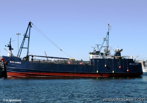
Vessel Blue Gadus IMO: 7647883, MMSI: 369174000 Fishing Vessel
UTC, 26.90938, -80.08403, course: -1, speed: 0
UTC, 26.90940, -80.08409, course: -1, speed: 0.2
2026-02-07 10:10:18 UTC, 26.90941, -80.08412, course: -1, speed: 0.2
Live AIS position:
UTC. Near Juno Beach),
updated 2026-02-07 10:10:18 UTC.
Find the position of the vessel Blue Gadus on the map. The latter are known coordinates and path.
marine traffic ship tracker show on live map
The current position of vessel Blue Gadus is 26.90941 lat / -80.08412 lng. Updated: 2026-02-07 10:10:18 UTCCurrently sailing under the flag of USA
Details:
Last coordinates of the vessel:
UTC, 26.90941, -80.08409, course: -1, speed: 0.4UTC, 26.90938, -80.08403, course: -1, speed: 0
UTC, 26.90940, -80.08409, course: -1, speed: 0.2
2026-02-07 10:10:18 UTC, 26.90941, -80.08412, course: -1, speed: 0.2