 vesseltracker.com
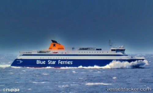
Vessel Blue Star Paros IMO: 9241774, MMSI: 239924000 Passenger Ro Ro Cargo Ship
UTC, 37.10565, 25.37063, course: 237, speed: 0
UTC, 37.08572, 25.13408, course: 261, speed: 15
2026-02-06 14:17:43 UTC, 37.59438, 24.03207, course: 292, speed: 21.5
Live AIS position:
UTC. Near LAVRIO MARINA),
updated 2026-02-06 14:17:43 UTC.
Find the position of the vessel Blue Star Paros on the map. The latter are known coordinates and path.
marine traffic ship tracker show on live map
The current position of vessel Blue Star Paros is 37.59438 lat / 24.03207 lng. Updated: 2026-02-06 14:17:43 UTCCurrently sailing under the flag of Greece
Blue Star Paros built in 2002 year
Deadweight:
1896 tDetails:
Last coordinates of the vessel:
UTC, 36.98530, 25.87860, course: 320, speed: 20.8UTC, 37.10565, 25.37063, course: 237, speed: 0
UTC, 37.08572, 25.13408, course: 261, speed: 15
2026-02-06 14:17:43 UTC, 37.59438, 24.03207, course: 292, speed: 21.5