 vesseltracker.com
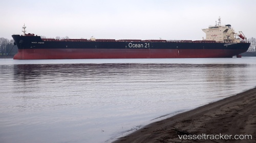
Vessel Boga Indah IMO: 9624976, MMSI: 563770000 Bulk Carrier
UTC, -3.71833, 114.43667, course: -1, speed: 0
UTC, -3.71833, 114.43833, course: -1, speed: 0
2026-02-05 05:44:01 UTC, -3.71500, 114.43833, course: -1, speed: 0
Live AIS position:
UTC. Near Taboneo),
updated 2026-02-05 05:44:01 UTC.
Find the position of the vessel Boga Indah on the map. The latter are known coordinates and path.
marine traffic ship tracker show on live map
The current position of vessel Boga Indah is -3.71500 lat / 114.43833 lng. Updated: 2026-02-05 05:44:01 UTCCurrently sailing under the flag of Singapore
Details:
Last coordinates of the vessel:
UTC, -3.71833, 114.43667, course: -1, speed: 0UTC, -3.71833, 114.43667, course: -1, speed: 0
UTC, -3.71833, 114.43833, course: -1, speed: 0
2026-02-05 05:44:01 UTC, -3.71500, 114.43833, course: -1, speed: 0