 vesseltracker.com
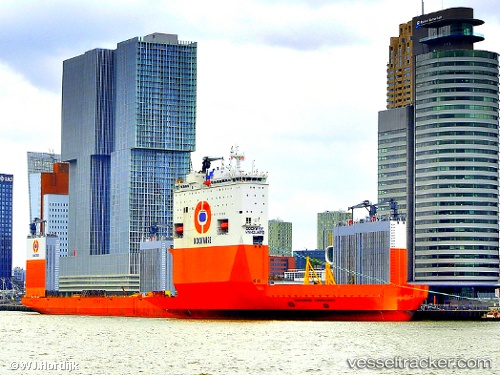
Vessel Boka Vanguard IMO: 9618783, MMSI: 306039000 Heavy Load Carrier
UTC, 2.41393, 101.61974, course: 125, speed: 10.4
UTC, 2.14550, 101.96028, course: 129, speed: 8.9
2026-02-05 05:47:31 UTC, 1.99726, 102.11542, course: 134, speed: 7.4
Live AIS position:
UTC. 12 nm SW of Malacca),
updated 2026-02-05 05:47:31 UTC.
Find the position of the vessel Boka Vanguard on the map. The latter are known coordinates and path.
marine traffic ship tracker show on live map
The current position of vessel Boka Vanguard is 1.99726 lat / 102.11542 lng. Updated: 2026-02-05 05:47:31 UTCDetails:
Last coordinates of the vessel:
UTC, 2.54241, 101.45796, course: 128, speed: 10.9UTC, 2.41393, 101.61974, course: 125, speed: 10.4
UTC, 2.14550, 101.96028, course: 129, speed: 8.9
2026-02-05 05:47:31 UTC, 1.99726, 102.11542, course: 134, speed: 7.4