 vesseltracker.com
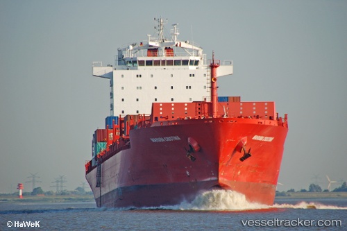
Vessel Bomar Resolute IMO: 9408774, MMSI: 636016973 Container Ship
UTC, -5.01704, -97.78207, course: 106, speed: 16.5
UTC, -5.18092, -97.29745, course: 107, speed: 16.7
2026-02-05 22:15:05 UTC, -5.37988, -96.71689, course: 105, speed: 17
Live AIS position:
UTC. Open sea, approx. 434 nm off the nearest listed port),
updated 2026-02-05 22:15:05 UTC.
Find the position of the vessel Bomar Resolute on the map. The latter are known coordinates and path.
marine traffic ship tracker show on live map
The current position of vessel Bomar Resolute is -5.37988 lat / -96.71689 lng. Updated: 2026-02-05 22:15:05 UTCCurrently sailing under the flag of Liberia
Bomar Resolute built in 2007 year
Deadweight:
42074 tDetails:
Last coordinates of the vessel:
UTC, -4.81810, -98.37557, course: 107, speed: 16.4UTC, -5.01704, -97.78207, course: 106, speed: 16.5
UTC, -5.18092, -97.29745, course: 107, speed: 16.7
2026-02-05 22:15:05 UTC, -5.37988, -96.71689, course: 105, speed: 17