 vesseltracker.com
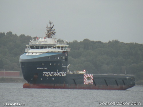
Vessel Breaux Tide IMO: 9697064, MMSI: 577243000 Offshore Tug Supply Ship
UTC, 7.31022, -55.83703, course: 93, speed: 1
UTC, 7.30978, -55.82933, course: 90, speed: 0.3
2026-02-05 07:26:39 UTC, 7.30990, -55.82939, course: 90, speed: 0.9
Live AIS position:
UTC. 95 nm N of Jarikaba),
updated 2026-02-05 07:26:39 UTC.
Find the position of the vessel Breaux Tide on the map. The latter are known coordinates and path.
marine traffic ship tracker show on live map
The current position of vessel Breaux Tide is 7.30990 lat / -55.82939 lng. Updated: 2026-02-05 07:26:39 UTCDetails:
Last coordinates of the vessel:
UTC, 7.31286, -55.82843, course: 91, speed: 0.4UTC, 7.31022, -55.83703, course: 93, speed: 1
UTC, 7.30978, -55.82933, course: 90, speed: 0.3
2026-02-05 07:26:39 UTC, 7.30990, -55.82939, course: 90, speed: 0.9