 vesseltracker.com
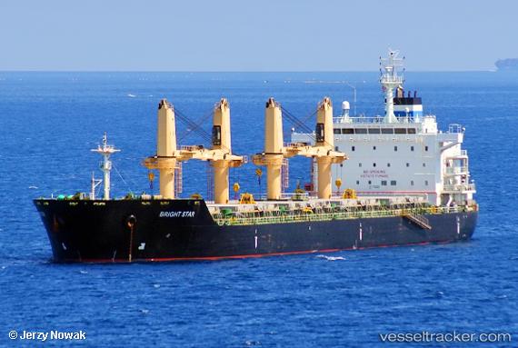
Vessel Bright Star IMO: 9481960, MMSI: 636018508 Bulk Carrier
UTC, 24.95232, -154.07220, course: 286, speed: 7.9
UTC, 25.01927, -154.44368, course: 284, speed: 8.7
2026-02-05 00:26:14 UTC, 25.07747, -154.74437, course: 280, speed: 8.8
Live AIS position:
UTC. 200 nm SW of Vega de San Mateo),
updated 2026-02-05 00:26:14 UTC.
Find the position of the vessel Bright Star on the map. The latter are known coordinates and path.
marine traffic ship tracker show on live map
The current position of vessel Bright Star is 25.07747 lat / -154.74437 lng. Updated: 2026-02-05 00:26:14 UTCCurrently sailing under the flag of Liberia
Bright Star built in 2011 year
Deadweight:
35000 tDetails:
Last coordinates of the vessel:
UTC, 24.91435, -153.83955, course: 284, speed: 7.7UTC, 24.95232, -154.07220, course: 286, speed: 7.9
UTC, 25.01927, -154.44368, course: 284, speed: 8.7
2026-02-05 00:26:14 UTC, 25.07747, -154.74437, course: 280, speed: 8.8