 vesseltracker.com
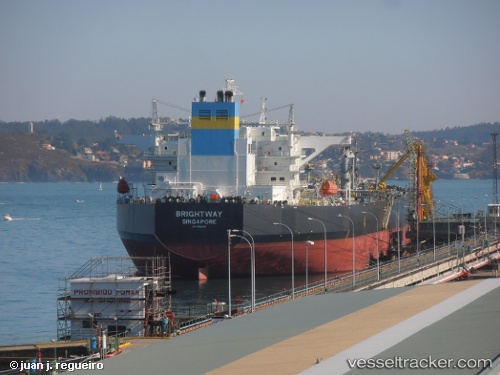
Vessel Brightway IMO: 9588146, MMSI: 566422000 Crude Oil Tanker
Live AIS position:
UTC. Near Flushing),
updated 2025-12-03 08:34:33 UTC.
Find the position of the vessel Brightway on the map. The latter are known coordinates and path.
marine traffic ship tracker show on live map
The current position of vessel Brightway is 50.10870 lat / -5.05069 lng. Updated: 2025-12-03 08:34:33 UTCDetails:
Last coordinates of the vessel:
2025-12-03 08:34:33 UTC, 50.10870, -5.05069, course: 133, speed: 0.1