 vesseltracker.com
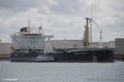
Find the position of the vessel British Reason on the map. The latter are known coordinates and path.
marine traffic ship tracker show on live map
The current position of vessel British Reason is 52.71559 lat / 2.49954 lng. Updated: 2025-11-02 12:06:47 UTCCurrently sailing under the flag of United Kingdom
Details:
Last coordinates of the vessel:
UTC, 52.47901, 2.62373, course: 325, speed: 6.1UTC, 52.56075, 2.54326, course: 297, speed: 4.8
UTC, 52.66632, 2.49961, course: 297, speed: 3.5
2025-11-02 12:06:47 UTC, 52.71559, 2.49954, course: 313, speed: 3.2