 vesseltracker.com
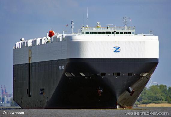
Vessel Brooklands IMO: 9748289, MMSI: 636017767 Vehicles Carrier
UTC, 35.46137, 139.69730, course: 60, speed: 0.1
UTC, 35.46135, 139.69728, course: 60, speed: 0
2026-02-24 06:23:51 UTC, 35.46138, 139.69728, course: 60, speed: 0.1
Live AIS position:
UTC. Near Yokohama),
updated 2026-02-24 06:23:51 UTC.
Find the position of the vessel Brooklands on the map. The latter are known coordinates and path.
marine traffic ship tracker show on live map
The current position of vessel Brooklands is 35.46138 lat / 139.69728 lng. Updated: 2026-02-24 06:23:51 UTCCurrently sailing under the flag of Liberia
Details:
Last coordinates of the vessel:
UTC, 35.46136, 139.69730, course: 60, speed: 0UTC, 35.46137, 139.69730, course: 60, speed: 0.1
UTC, 35.46135, 139.69728, course: 60, speed: 0
2026-02-24 06:23:51 UTC, 35.46138, 139.69728, course: 60, speed: 0.1