 vesseltracker.com
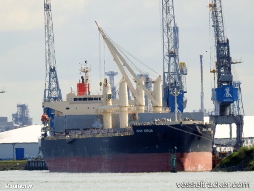
Vessel Buna Arrow IMO: 9687071, MMSI: 356453000 Bulk Carrier
UTC, 24.20850, 170.92461, course: 285, speed: 11.3
UTC, 25.56526, 166.48767, course: 286, speed: 9.7
2026-01-25 06:14:15 UTC, 25.62292, 166.28867, course: 290, speed: 10.5
Live AIS position:
UTC. 380 nm N of Wake Island),
updated 2026-01-25 06:14:15 UTC.
Find the position of the vessel Buna Arrow on the map. The latter are known coordinates and path.
marine traffic ship tracker show on live map
The current position of vessel Buna Arrow is 25.62292 lat / 166.28867 lng. Updated: 2026-01-25 06:14:15 UTCDetails:
Last coordinates of the vessel:
UTC, 24.10936, 171.25191, course: 285, speed: 11.3UTC, 24.20850, 170.92461, course: 285, speed: 11.3
UTC, 25.56526, 166.48767, course: 286, speed: 9.7
2026-01-25 06:14:15 UTC, 25.62292, 166.28867, course: 290, speed: 10.5