 vesseltracker.com
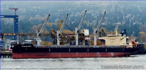
Vessel CAIPIRINHA IMO: 9714769, MMSI: 636021897 Bulk Carrier
UTC, 29.58802, -89.82321, course: 282, speed: 0
UTC, 29.58792, -89.82320, course: 283, speed: 0
2026-02-10 03:25:16 UTC, 29.58667, -89.82167, course: -1, speed: 0
Live AIS position:
UTC. Near Pointe a la Hache),
updated 2026-02-10 03:25:16 UTC.
Find the position of the vessel CAIPIRINHA on the map. The latter are known coordinates and path.
marine traffic ship tracker show on live map
The current position of vessel CAIPIRINHA is 29.58667 lat / -89.82167 lng. Updated: 2026-02-10 03:25:16 UTCCurrently sailing under the flag of Liberia
CAIPIRINHA built in 2015 year
Deadweight:
38668 tDetails:
Last coordinates of the vessel:
UTC, 29.58821, -89.82166, course: 276, speed: 1UTC, 29.58802, -89.82321, course: 282, speed: 0
UTC, 29.58792, -89.82320, course: 283, speed: 0
2026-02-10 03:25:16 UTC, 29.58667, -89.82167, course: -1, speed: 0