 vesseltracker.com
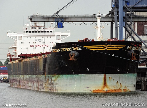
Vessel CAPE GRECO IMO: 9481477, MMSI: 636021711 Bulk Carrier
UTC, -8.32367, 50.36370, course: 215, speed: 12.8
UTC, -8.80050, 50.02273, course: 215, speed: 12.8
2026-01-29 08:21:36 UTC, -9.14333, 49.76260, course: 221, speed: 13.1
Live AIS position:
UTC. 267 nm N of Nosy-Be),
updated 2026-01-29 08:21:36 UTC.
Find the position of the vessel CAPE GRECO on the map. The latter are known coordinates and path.
marine traffic ship tracker show on live map
The current position of vessel CAPE GRECO is -9.14333 lat / 49.76260 lng. Updated: 2026-01-29 08:21:36 UTCCurrently sailing under the flag of Liberia
CAPE GRECO built in 2011 year
Deadweight:
79471 tDetails:
Last coordinates of the vessel:
UTC, -7.94418, 50.66313, course: 217, speed: 12.9UTC, -8.32367, 50.36370, course: 215, speed: 12.8
UTC, -8.80050, 50.02273, course: 215, speed: 12.8
2026-01-29 08:21:36 UTC, -9.14333, 49.76260, course: 221, speed: 13.1