 vesseltracker.com
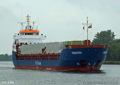
Vessel 232033027 IMO: 9312705, MMSI: 232033027
UTC, 55.79816, 15.95631, course: 66, speed: 9.7
UTC, 55.89494, 16.26617, course: 67, speed: 9.7
2026-02-05 11:47:37 UTC, 56.12702, 16.84262, course: 31, speed: 10.6
Live AIS position:
UTC. 28 nm SE of Mörbylånga),
updated 2026-02-05 11:47:37 UTC.
Find the position of the vessel 232033027 on the map. The latter are known coordinates and path.
marine traffic ship tracker show on live map
The current position of vessel 232033027 is 56.12702 lat / 16.84262 lng. Updated: 2026-02-05 11:47:37 UTCDetails:
Last coordinates of the vessel:
UTC, 55.60021, 15.32910, course: 67, speed: 6.8UTC, 55.79816, 15.95631, course: 66, speed: 9.7
UTC, 55.89494, 16.26617, course: 67, speed: 9.7
2026-02-05 11:47:37 UTC, 56.12702, 16.84262, course: 31, speed: 10.6