 vesseltracker.com
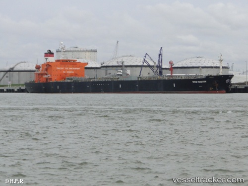
Vessel CHAPEL IMO: 9254070, MMSI: 657251500 Crude Oil Tanker
UTC, 4.51255, 6.68951, course: -1, speed: 0
UTC, 4.51255, 6.68951, course: -1, speed: 0
2026-02-24 12:27:58 UTC, 4.51255, 6.68951, course: -1, speed: 0
Live AIS position:
UTC. 24 nm SW of Port Harcourt),
updated 2026-02-24 12:27:58 UTC.
Find the position of the vessel CHAPEL on the map. The latter are known coordinates and path.
marine traffic ship tracker show on live map
The current position of vessel CHAPEL is 4.51255 lat / 6.68951 lng. Updated: 2026-02-24 12:27:58 UTCCurrently sailing under the flag of Nigeria
CHAPEL built in 2003 year
Deadweight:
47015 tDetails:
Last coordinates of the vessel:
UTC, 4.51253, 6.68952, course: -1, speed: 0UTC, 4.51255, 6.68951, course: -1, speed: 0
UTC, 4.51255, 6.68951, course: -1, speed: 0
2026-02-24 12:27:58 UTC, 4.51255, 6.68951, course: -1, speed: 0