 vesseltracker.com
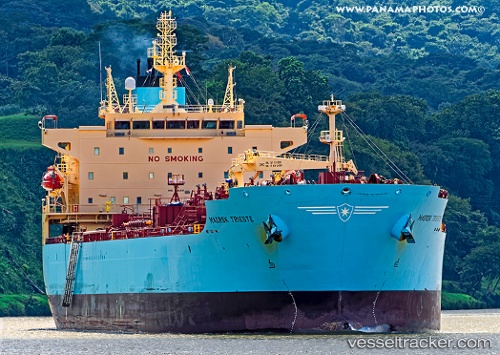
Vessel 'GAS RAY X' IMO: 9732931, MMSI: 538009233
UTC, 34.60824, -43.83353, course: 77, speed: 11.2
UTC, 34.67995, -43.29445, course: 82, speed: 11.4
2026-01-31 11:19:38 UTC, 34.70500, -43.03833, course: -1, speed: 11
Live AIS position:
UTC. 102 nm N of Girard),
updated 2026-01-31 11:19:38 UTC.
Find the position of the vessel 'GAS RAY X' on the map. The latter are known coordinates and path.
marine traffic ship tracker show on live map
The current position of vessel 'GAS RAY X' is 34.70500 lat / -43.03833 lng. Updated: 2026-01-31 11:19:38 UTCDetails:
Last coordinates of the vessel:
UTC, 34.55333, -44.15333, course: -1, speed: 11UTC, 34.60824, -43.83353, course: 77, speed: 11.2
UTC, 34.67995, -43.29445, course: 82, speed: 11.4
2026-01-31 11:19:38 UTC, 34.70500, -43.03833, course: -1, speed: 11