vessel 636093017 IMO: 9633082, vesseltracker.com
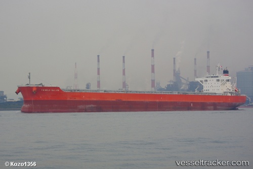
Vessel 636093017 IMO: 9633082,
MMSI: 636093017 callsign: size: x

Find the position of the vessel 636093017 on the map. The latter are known coordinates and path.

marine traffic ship tracker show on live map

The current position of vessel 636093017 is 37.9837 lat / 14.5896 lng. Updated: 2025-03-04 10:32:11 UTC
Details:


Last coordinates of the vessel:
2025-03-04 10:32:11 UTC, 37.9837, 14.5896, course: 281, speed: 0.3

Track of the vessel in the last 14 days


Most frequent ports a vessels calls at 636093017 (636093017):

Port Headland, traffic: 4
Port Hedland, traffic: 4
Atumi, traffic: 2
Tai-tung Kang, traffic: 2
Kinuura, traffic: 2
Newcastle, traffic: 2
Torres Strait, traffic: 1
Thursday Island, traffic: 1
Balikpapan, traffic: 1
Davao, traffic: 1
Maizuru, traffic: 1
Selat Lombok, traffic: 1

Link to the map:


Find another ship

636093017 (636093017) last ports (portcalls and passsages)

Maizuru | 2023-12-13 02:59:35
Thursday Island | 2022-11-20 08:52:10
Davao | 2022-11-12 23:54:18
Balikpapan | 2022-08-20 10:26:51
Port Hedland | 2022-08-09 05:35:50
Port Headland | 2022-07-06 13:09:13
Tai-tung Kang | 2022-06-23 10:19:48
Tai-tung Kang | 2022-06-18 10:30:55
Selat Lombok | 2022-03-22 06:11:14
Port Headland | 2022-03-18 15:17:11
Atumi | 2022-03-03 06:51:17
Kinuura | 2022-03-01 00:25:31
Newcastle | 2021-12-26 15:50:31