 vesseltracker.com
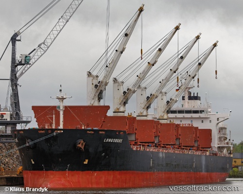
Vessel CLIPPER PALMA IMO: 9450806, MMSI: 538009912 Bulk Carrier
Live AIS position:
UTC. 37 nm SE of Guang'ao),
updated 2025-11-29 11:21:44 UTC.
Find the position of the vessel CLIPPER PALMA on the map. The latter are known coordinates and path.
marine traffic ship tracker show on live map
The current position of vessel CLIPPER PALMA is 22.83425 lat / 117.28887 lng. Updated: 2025-11-29 11:21:44 UTCCurrently sailing under the flag of Marshall Islands
CLIPPER PALMA built in 2010 year
Deadweight:
34399 tDetails:
Last coordinates of the vessel:
2025-11-29 11:21:44 UTC, 22.83425, 117.28887, course: 245, speed: 11