 vesseltracker.com
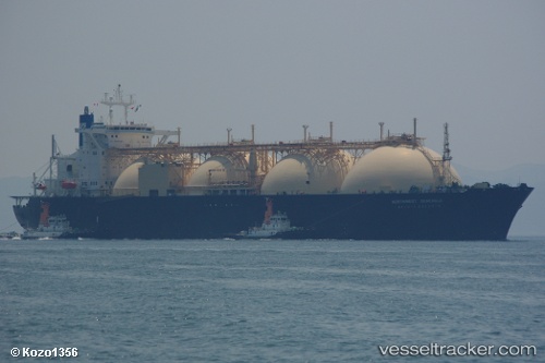
Find the position of the vessel CNTIC VPOWER ENERGY on the map. The latter are known coordinates and path.
marine traffic ship tracker show on live map
The current position of vessel CNTIC VPOWER ENERGY is 3.09875 lat / 100.69098 lng. Updated: 2025-11-03 19:20:57 UTCCurrently sailing under the flag of Liberia
CNTIC VPOWER ENERGY built in 1992 year
Deadweight:
67003 tDetails:
Last coordinates of the vessel:
UTC, 2.61345, 101.42740, course: 302, speed: 13UTC, 2.76785, 101.12212, course: 298, speed: 11.1
UTC, 2.94597, 100.89575, course: 311, speed: 9
2025-11-03 19:20:57 UTC, 3.09875, 100.69098, course: 311, speed: 9.9