 vesseltracker.com
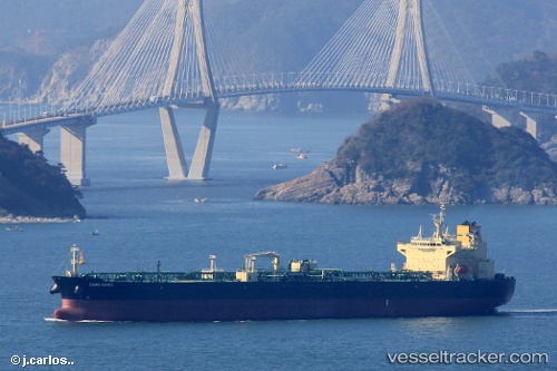
Vessel Cabo Kamui IMO: 9755050, MMSI: 370361000 Crude Oil Tanker
UTC, 16.10155, -95.14171, course: 50, speed: 0
UTC, 16.11088, -95.18713, course: 140, speed: 0.9
2026-02-10 22:00:22 UTC, 16.11144, -95.19752, course: 155, speed: 1.1
Live AIS position:
UTC. Near Salina Cruz),
updated 2026-02-10 22:00:22 UTC.
Find the position of the vessel Cabo Kamui on the map. The latter are known coordinates and path.
marine traffic ship tracker show on live map
The current position of vessel Cabo Kamui is 16.11144 lat / -95.19752 lng. Updated: 2026-02-10 22:00:22 UTCDetails:
Last coordinates of the vessel:
UTC, 16.10090, -95.14091, course: 25, speed: 0.2UTC, 16.10155, -95.14171, course: 50, speed: 0
UTC, 16.11088, -95.18713, course: 140, speed: 0.9
2026-02-10 22:00:22 UTC, 16.11144, -95.19752, course: 155, speed: 1.1