 vesseltracker.com
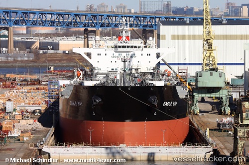
Vessel California IMO: 9642095, MMSI: 338500000 Crude Oil Tanker
UTC, 40.42708, -126.29885, course: 327, speed: 13.9
UTC, 40.88880, -126.65129, course: 326, speed: 13.9
2026-02-09 15:35:50 UTC, 41.19534, -126.89669, course: 325, speed: 14.2
Live AIS position:
UTC. 125 nm W of Samoa),
updated 2026-02-09 15:35:50 UTC.
Find the position of the vessel California on the map. The latter are known coordinates and path.
marine traffic ship tracker show on live map
The current position of vessel California is 41.19534 lat / -126.89669 lng. Updated: 2026-02-09 15:35:50 UTCDetails:
Last coordinates of the vessel:
UTC, 40.02798, -125.98023, course: 328, speed: 13.7UTC, 40.42708, -126.29885, course: 327, speed: 13.9
UTC, 40.88880, -126.65129, course: 326, speed: 13.9
2026-02-09 15:35:50 UTC, 41.19534, -126.89669, course: 325, speed: 14.2