 vesseltracker.com
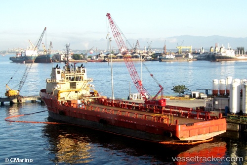
Live AIS position:
22.89233° S, 43.21323° W UTC. Near Rio De Janeiro),
updated 2023-04-29 16:33:24 UTC.
Find the position of the vessel Campos Carrier on the map. The latter are known coordinates and path.
marine traffic ship tracker show on live map
The current position of vessel Campos Carrier is -22.89233 lat / -43.21323 lng. Updated: 2023-04-29 16:33:24 UTCDetails:
Last coordinates of the vessel:
2023-04-29 16:33:24 UTC, -22.89233, -43.21323, course: 338, speed: 0