 vesseltracker.com
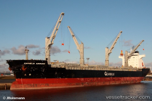
Vessel Canelo Arrow IMO: 9107318, MMSI: 309761000 Multi Purpose Carrier
UTC, 29.85547, -93.94406, course: 41, speed: 0
UTC, 29.85546, -93.94408, course: 41, speed: 0
2026-02-09 19:25:50 UTC, 29.85548, -93.94398, course: 41, speed: 0
Live AIS position:
UTC. Near Port Arthur),
updated 2026-02-09 19:25:50 UTC.
Find the position of the vessel Canelo Arrow on the map. The latter are known coordinates and path.
marine traffic ship tracker show on live map
The current position of vessel Canelo Arrow is 29.85548 lat / -93.94398 lng. Updated: 2026-02-09 19:25:50 UTCCurrently sailing under the flag of Bahamas
Canelo Arrow built in 1997 year
Deadweight:
48077 tDetails:
Last coordinates of the vessel:
UTC, 29.85544, -93.94418, course: 41, speed: 0UTC, 29.85547, -93.94406, course: 41, speed: 0
UTC, 29.85546, -93.94408, course: 41, speed: 0
2026-02-09 19:25:50 UTC, 29.85548, -93.94398, course: 41, speed: 0