 vesseltracker.com
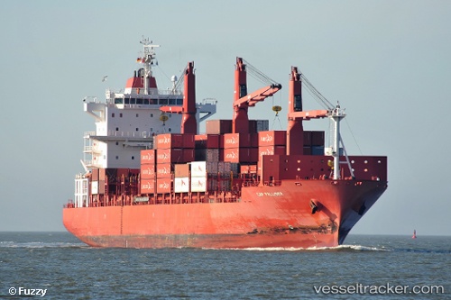
Vessel Cap Palliser IMO: 9344679, MMSI: 636016647 Container Ship
UTC, 7.98833, -76.83500, course: -1, speed: 0
UTC, 7.98833, -76.83333, course: -1, speed: 0
2026-02-07 15:36:39 UTC, 7.98833, -76.83333, course: -1, speed: 0
Live AIS position:
UTC. Near TURBO),
updated 2026-02-07 15:36:39 UTC.
Find the position of the vessel Cap Palliser on the map. The latter are known coordinates and path.
marine traffic ship tracker show on live map
The current position of vessel Cap Palliser is 7.98833 lat / -76.83333 lng. Updated: 2026-02-07 15:36:39 UTCCurrently sailing under the flag of Liberia
Cap Palliser built in 2007 year
Deadweight:
28219 tDetails:
Last coordinates of the vessel:
UTC, 7.98834, -76.83525, course: 347, speed: 0UTC, 7.98833, -76.83500, course: -1, speed: 0
UTC, 7.98833, -76.83333, course: -1, speed: 0
2026-02-07 15:36:39 UTC, 7.98833, -76.83333, course: -1, speed: 0