 vesseltracker.com
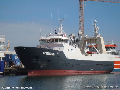
Vessel Cap Saint Georges IMO: 9293014, MMSI: 228165600 Fishing Vessel
UTC, 58.15219, 6.31853, course: 124, speed: 8.2
UTC, 57.92802, 6.81268, course: 122, speed: 9
2026-02-08 05:24:19 UTC, 57.79688, 7.03319, course: 126, speed: 8.4
Live AIS position:
UTC. 14 nm S of Hausvikstrand),
updated 2026-02-08 05:24:19 UTC.
Find the position of the vessel Cap Saint Georges on the map. The latter are known coordinates and path.
marine traffic ship tracker show on live map
The current position of vessel Cap Saint Georges is 57.79688 lat / 7.03319 lng. Updated: 2026-02-08 05:24:19 UTCCurrently sailing under the flag of France
Details:
Last coordinates of the vessel:
UTC, 58.34854, 5.90388, course: 130, speed: 9.7UTC, 58.15219, 6.31853, course: 124, speed: 8.2
UTC, 57.92802, 6.81268, course: 122, speed: 9
2026-02-08 05:24:19 UTC, 57.79688, 7.03319, course: 126, speed: 8.4