vessel Cape Balder IMO: 9187239, Crude Oil Tanker
vesseltracker.com
Vessel Cape Balder IMO: 9187239, Crude Oil Tanker
MMSI: 538005854 callsign: V7KA5 size: 274x48

Find the position of the vessel Cape Balder on the map. The latter are known coordinates and path.

marine traffic ship tracker show on live map

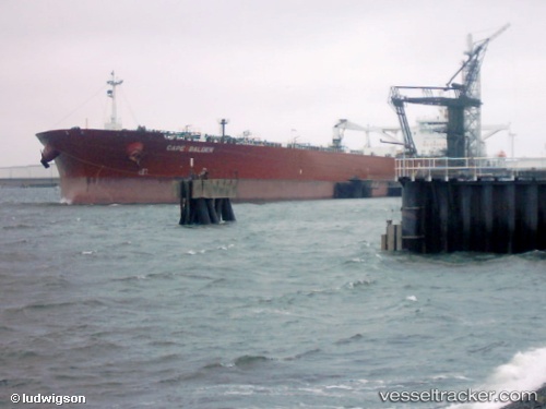
The current position of vessel Cape Balder is 30.9647 lat / 122.873 lng. Updated: 2025-05-01 19:11:55 UTC

Currently sailing under the flag of Marshall Is

Cape Balder built in 2000 year

Deadweight:
159998 t

Details:


Last coordinates of the vessel:
2025-05-01 19:11:55 UTC, 30.9647, 122.873, course: 84, speed: 12.7

Track of the vessel in the last 14 days


Most frequent ports a vessels calls at Cape Balder (538005854):

Texas City, traffic: 1
Wu-Sung, traffic: 1
Wusong, traffic: 1
Galveston, traffic: 1

Link to the map:


Find another ship

Cape_Balder (538005854) last ports (portcalls and passsages)

Galveston | 2024-03-08 02:32:42
Wu-Sung | 2023-03-23 06:04:18