 vesseltracker.com
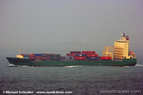
Find the position of the vessel Cape Flores on the map. The latter are known coordinates and path.
marine traffic ship tracker show on live map
The current position of vessel Cape Flores is -19.9255 lat / 35.0647 lng. Updated: 2025-01-15 14:33:22 UTCPort of registry:
Majuro (capital of the Marshall Islands)Payload_mass:
16393.4 tonneGross tonnage:
14308Operator:
Columbia Shipmanagement Ltd. (shipping company)Service entry:
2005-01-01T00:00:00ZManufacturer:
Peene-Werft (shipyard in Wolgast, Germany)
Details:
Last coordinates of the vessel:
UTC, -19.9248, 35.0644, course: 88, speed: 0.2UTC, -19.9249, 35.0644, course: 75, speed: 0.3
UTC, -19.9254, 35.0646, course: 57, speed: 0
2025-01-15 14:33:22 UTC, -19.9255, 35.0647, course: 50, speed: 0.3