 vesseltracker.com
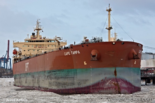
Find the position of the vessel Cape Tampa on the map. The latter are known coordinates and path.
marine traffic ship tracker show on live map
The current position of vessel Cape Tampa is 51.951388333333 lat / 4.1459483333333 lng. Updated: 2025-11-07 01:33:50 UTCDetails:
Last coordinates of the vessel:
UTC, 51.951351666667, 4.1459716666667, course: 0, speed: 0UTC, 51.951345, 4.1459566666667, course: 0, speed: 0
UTC, 51.951378333333, 4.1459116666667, course: 359, speed: 0
2025-11-07 01:33:50 UTC, 51.951388333333, 4.1459483333333, course: 0, speed: 0