 vesseltracker.com
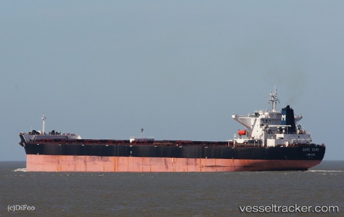
Find the position of the vessel Cape Veni on the map. The latter are known coordinates and path.
marine traffic ship tracker show on live map
The current position of vessel Cape Veni is 30.19459 lat / 122.05924 lng. Updated: 2025-08-08 08:20:14 UTCCurrently sailing under the flag of Cyprus
Cape Veni built in 2007 year
Deadweight:
173764 tDetails:
Last coordinates of the vessel:
2025-08-08 08:20:14 UTC, 30.19459, 122.05924, course: 312, speed: 0