 vesseltracker.com
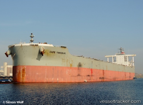
Find the position of the vessel Cape Yamabuki on the map. The latter are known coordinates and path.
marine traffic ship tracker show on live map
The current position of vessel Cape Yamabuki is 6.68167 lat / 120.02667 lng. Updated: 2025-11-07 00:23:51 UTCCurrently sailing under the flag of Japan
Cape Yamabuki built in 2010 year
Deadweight:
182534 tDetails:
Last coordinates of the vessel:
UTC, 6.17979, 119.90788, course: 5, speed: 11UTC, 6.43833, 119.96500, course: -1, speed: 11
UTC, 6.56167, 119.98833, course: -1, speed: 11
2025-11-07 00:23:51 UTC, 6.68167, 120.02667, course: -1, speed: 11