 vesseltracker.com
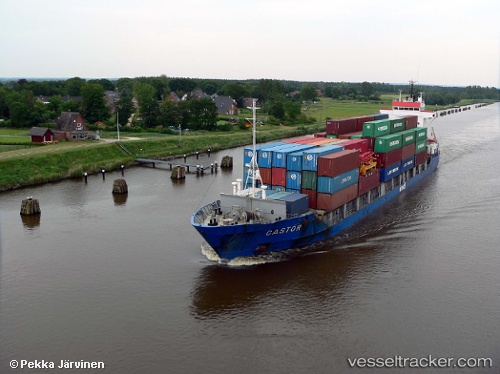
Vessel Castor IMO: 9377327, MMSI: 345010039 Offshore Tug Supply Ship
Live AIS position:
UTC. Near Tamos),
updated 2025-07-10 15:41:26 UTC.
Find the position of the vessel Castor on the map. The latter are known coordinates and path.
marine traffic ship tracker show on live map
The current position of vessel Castor is 22.20777 lat / -97.94424 lng. Updated: 2025-07-10 15:41:26 UTCCurrently sailing under the flag of Mexico
Castor built in 2005 year
Deadweight:
315 tDetails:
Last coordinates of the vessel:
2025-07-10 15:41:26 UTC, 22.20777, -97.94424, course: 253, speed: 0.1