 vesseltracker.com
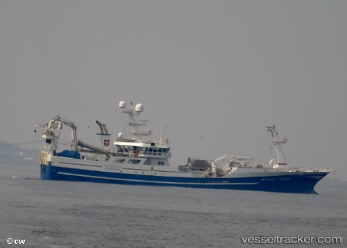
Vessel Cattleya IMO: 9636046, MMSI: 219017843 Fish Carrier
UTC, 59.48150, 0.10220, course: 28, speed: 12.2
UTC, 59.48150, 0.10220, course: 28, speed: 12.2
2026-02-15 18:07:45 UTC, 58.53215, 0.50046, course: 308, speed: 12.2
Live AIS position:
UTC. 33 nm NW of Alba Oil Field),
updated 2026-02-15 18:07:45 UTC.
Find the position of the vessel Cattleya on the map. The latter are known coordinates and path.
marine traffic ship tracker show on live map
The current position of vessel Cattleya is 58.53215 lat / 0.50046 lng. Updated: 2026-02-15 18:07:45 UTCDetails:
Last coordinates of the vessel:
UTC, 59.48150, 0.10220, course: 28, speed: 12.2UTC, 59.48150, 0.10220, course: 28, speed: 12.2
UTC, 59.48150, 0.10220, course: 28, speed: 12.2
2026-02-15 18:07:45 UTC, 58.53215, 0.50046, course: 308, speed: 12.2