 vesseltracker.com
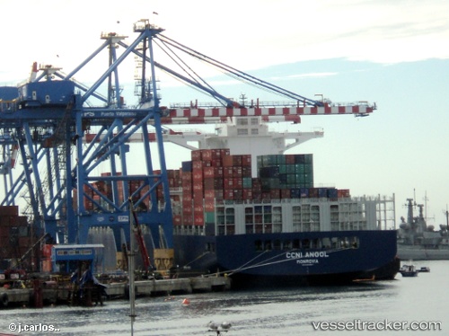
Vessel Ccni Angol IMO: 9683867, MMSI: 636092896 Container Ship
UTC, -10.78167, -11.97833, course: -1, speed: 16
UTC, -11.25272, -11.51983, course: 134, speed: 16.2
2026-02-16 02:19:03 UTC, -11.72833, -11.04667, course: -1, speed: 16
Live AIS position:
UTC. 299 nm SE of Ascension),
updated 2026-02-16 02:19:03 UTC.
Find the position of the vessel Ccni Angol on the map. The latter are known coordinates and path.
marine traffic ship tracker show on live map
The current position of vessel Ccni Angol is -11.72833 lat / -11.04667 lng. Updated: 2026-02-16 02:19:03 UTCCurrently sailing under the flag of Liberia
Details:
Last coordinates of the vessel:
UTC, -10.49167, -12.28667, course: -1, speed: 16UTC, -10.78167, -11.97833, course: -1, speed: 16
UTC, -11.25272, -11.51983, course: 134, speed: 16.2
2026-02-16 02:19:03 UTC, -11.72833, -11.04667, course: -1, speed: 16