 vesseltracker.com
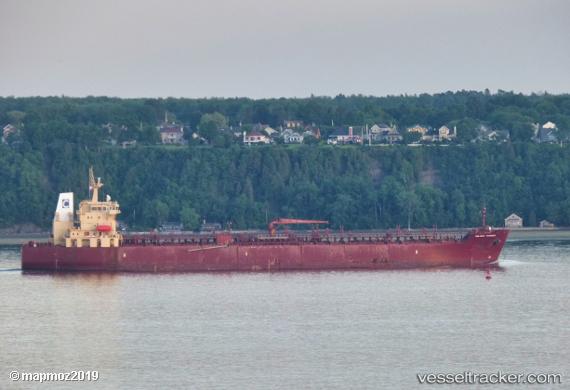
Find the position of the vessel Celsius Randers on the map. The latter are known coordinates and path.
marine traffic ship tracker show on live map
The current position of vessel Celsius Randers is 40.722153333333 lat / 29.477203333333 lng. Updated: 2025-11-07 13:22:41 UTCDetails:
Last coordinates of the vessel:
UTC, 40.7221, 29.477251666667, course: 318, speed: 0UTC, 40.72211, 29.47727, course: 318, speed: 0
UTC, 40.72214, 29.47723, course: 318, speed: 0
2025-11-07 13:22:41 UTC, 40.722153333333, 29.477203333333, course: 318, speed: 0