 vesseltracker.com
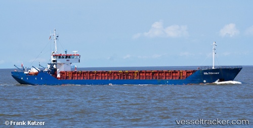
Vessel Celtica Hav IMO: 8422022, MMSI: 311945000 Multi Purpose Carrier
UTC, 43.50419, -3.28144, course: 298, speed: 7.3
UTC, 43.56943, -3.64009, course: 283, speed: 7.7
2026-02-05 15:54:42 UTC, 43.59788, -3.93863, course: 279, speed: 7.1
Live AIS position:
UTC. Near Soto de la Marina),
updated 2026-02-05 15:54:42 UTC.
Find the position of the vessel Celtica Hav on the map. The latter are known coordinates and path.
marine traffic ship tracker show on live map
The current position of vessel Celtica Hav is 43.59788 lat / -3.93863 lng. Updated: 2026-02-05 15:54:42 UTCCurrently sailing under the flag of Bahamas
Celtica Hav built in 1984 year
Deadweight:
1720 tDetails:
Last coordinates of the vessel:
UTC, 43.32131, -3.01499, course: 319, speed: 9.1UTC, 43.50419, -3.28144, course: 298, speed: 7.3
UTC, 43.56943, -3.64009, course: 283, speed: 7.7
2026-02-05 15:54:42 UTC, 43.59788, -3.93863, course: 279, speed: 7.1