 vesseltracker.com
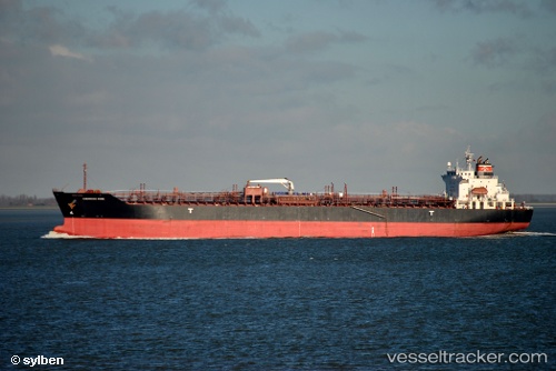
Vessel Chemroad Rose IMO: 9317846, MMSI: 371462000 Chemical Tanker
UTC, 27.13262, 49.77653, course: 28, speed: 0
UTC, 27.13276, 49.77616, course: 38, speed: 0
2026-02-23 14:01:20 UTC, 27.13285, 49.77604, course: 41, speed: 0
Live AIS position:
UTC. Near AL JUBAIL),
updated 2026-02-23 14:01:20 UTC.
Find the position of the vessel Chemroad Rose on the map. The latter are known coordinates and path.
marine traffic ship tracker show on live map
The current position of vessel Chemroad Rose is 27.13285 lat / 49.77604 lng. Updated: 2026-02-23 14:01:20 UTCDetails:
Last coordinates of the vessel:
UTC, 27.13366, 49.77874, course: 276, speed: 0.1UTC, 27.13262, 49.77653, course: 28, speed: 0
UTC, 27.13276, 49.77616, course: 38, speed: 0
2026-02-23 14:01:20 UTC, 27.13285, 49.77604, course: 41, speed: 0