 vesseltracker.com
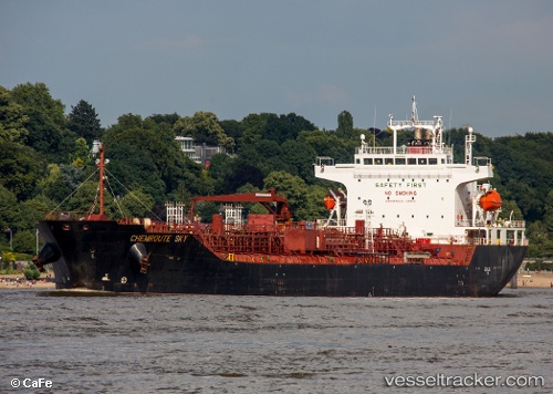
Vessel Chemroute Sky IMO: 9508160, MMSI: 357197000 Chemical Oil Products Tanker
UTC, 1.18264, 103.68438, course: 21, speed: 0.1
UTC, 1.18409, 103.68315, course: 88, speed: 0.1
2026-02-23 11:42:40 UTC, 1.18446, 103.68336, course: 92, speed: 0
Live AIS position:
UTC. Near JURONG ISLAND),
updated 2026-02-23 11:42:40 UTC.
Find the position of the vessel Chemroute Sky on the map. The latter are known coordinates and path.
marine traffic ship tracker show on live map
The current position of vessel Chemroute Sky is 1.18446 lat / 103.68336 lng. Updated: 2026-02-23 11:42:40 UTCDetails:
Last coordinates of the vessel:
UTC, 1.18248, 103.68482, course: 343, speed: 0.1UTC, 1.18264, 103.68438, course: 21, speed: 0.1
UTC, 1.18409, 103.68315, course: 88, speed: 0.1
2026-02-23 11:42:40 UTC, 1.18446, 103.68336, course: 92, speed: 0