 vesseltracker.com
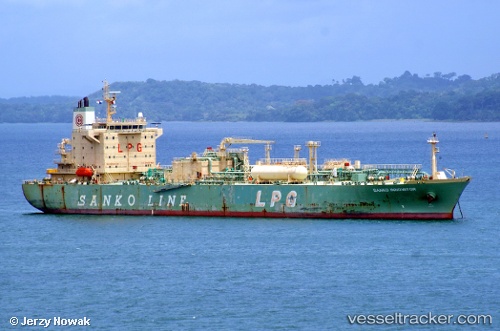
Vessel Cheshire IMO: 9369772, MMSI: 636013947 Lpg Tanker
UTC, 36.98003, 0.88237, course: 55, speed: 13.7
UTC, 37.12898, 1.08925, course: 47, speed: 13.8
2026-02-22 07:43:59 UTC, 37.32852, 1.68005, course: 69, speed: 13.6
Live AIS position:
UTC. 24 nm W of Albanchez),
updated 2026-02-22 07:43:59 UTC.
Find the position of the vessel Cheshire on the map. The latter are known coordinates and path.
marine traffic ship tracker show on live map
The current position of vessel Cheshire is 37.32852 lat / 1.68005 lng. Updated: 2026-02-22 07:43:59 UTCDetails:
Last coordinates of the vessel:
UTC, 36.61325, 0.38685, course: 44, speed: 12.8UTC, 36.98003, 0.88237, course: 55, speed: 13.7
UTC, 37.12898, 1.08925, course: 47, speed: 13.8
2026-02-22 07:43:59 UTC, 37.32852, 1.68005, course: 69, speed: 13.6